Martin’s to Lost Worlds Lookout


3 hrs 30 mins

504 m
Experienced only


(0km) Martins Lookout Carpark → Martins Lookout

90 m
3 mins
0m
-17m
Moderate track
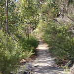
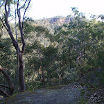
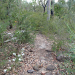
Veer left: From the intersection, the walk heads across the hillside, keeping the valley and view to the right. The track continues to soon lead out to the unfenced rock platform that forms Martin’s Lookout.
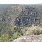
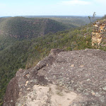
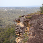
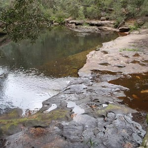
Martins Lookout
(0.09km) Martins Lookout → Bunyan Lookout
1.5 km
1 hr 4 mins
224m
-205m
Experienced only
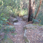
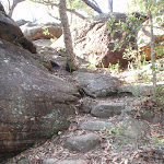
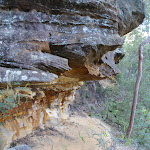
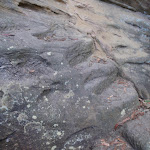
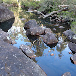
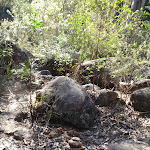
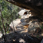
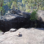
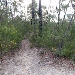
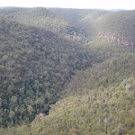
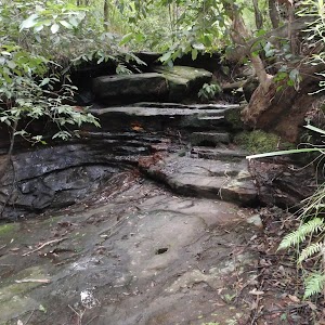
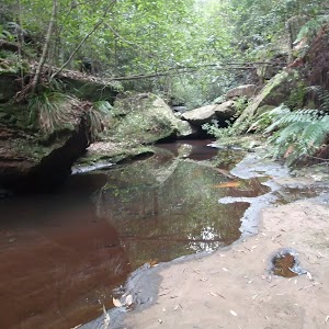
Turn left: From the intersection, the walk follows the ‘Bunyan Lkt’ post down the stairs. The walk soon meets the creek and turns left, following the creek for a short distance before crossing at an opening in the shrubs around the creek. From here, the walk follows the cairns (rock stacks) across creek flats before climbing the hill to the base of a small cliff line. At one point beneath the cliff line, the walk ducks through a hole in the rock, then winds up through boulders, following more cairns. The walk continues up the hill, passing through a few more rocky outcrops to reach the informal, unfenced Bunyan Lookout, in a clearing near the cliff line.
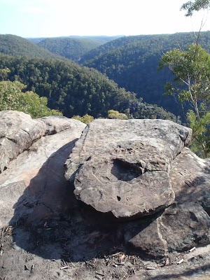
Bunyan Lookout
(1.57km) Bunyan Lookout → Lost Worlds Lookout
1.1 km
21 mins
38m
-20m
Moderate track
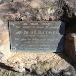
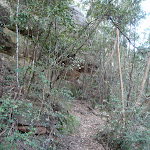
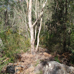
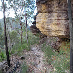
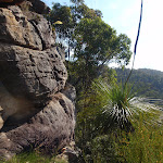
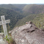
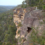
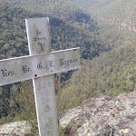
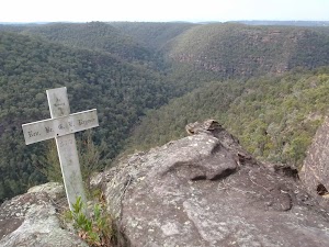
Turn right: From the red stump intersection, the walk follows the ‘Lost Worlds’ sign up the small hill. The walk winds through the bush for a short time then crosses a rocky surface. The track then leaves the rocky surface briefly to return to a similar rock surface with a white crucifix on the edge of the cliff.
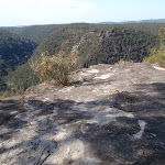
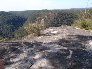
Lost Worlds Lookout
Maps for the Martin’s to Lost Worlds Lookout walk
You can download the PDF for this walk to print a map.These maps below cover the walk and the wider area around the walk, they are worth carrying for safety reasons.
| Springwood | 1:25 000 Map Series | 90304S SPRINGWOOD | NSW-90304S |
| Penrith | 1:100 000 Map Series | 9030 PENRITH | 9030 |
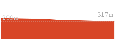
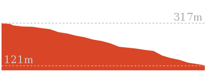
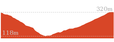
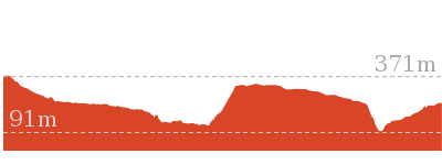
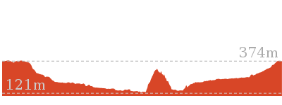
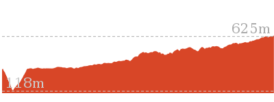
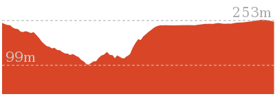
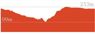
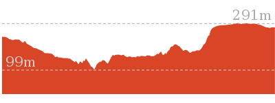
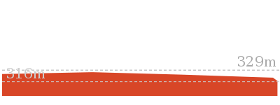
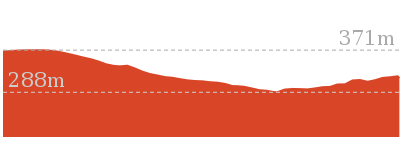
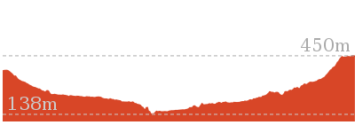
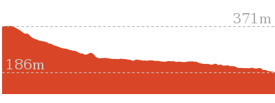
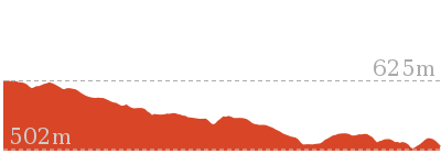
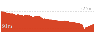
Cross sectional view of the Martin’s to Lost Worlds Lookout bushwalking track
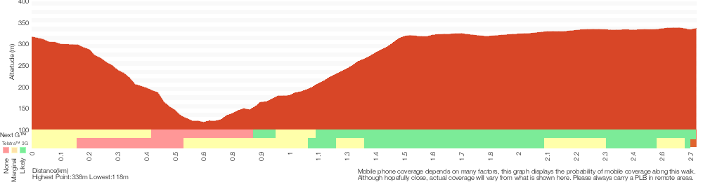
Analysis and summary of the altitude variation on the Martin’s to Lost Worlds Lookout
Overview of this walks grade – based on the AS 2156.1 – 2001
Under this standard, a walk is graded based on the most difficult section of the walk.
| Length | 5.4 km | ||
| Time | 3 hrs 30 mins | ||
| . | |||
| Grade 5/6 Experienced only |
AS 2156.1 | Gradient | Very steep (4/6) |
| Quality of track | Rough unclear track (5/6) | ||
| Signs | No directional signs (5/6) | ||
| Experience Required | No experience required (1/6) | ||
| Weather | Weather generally has little impact on safety (1/6) | ||
| Infrastructure | Limited facilities (such as cliffs not fenced, significant creeks not bridged) (4/6) |
Some more details of this walks Grading
Here is a bit more details explaining grading looking at sections of the walk
Gradient
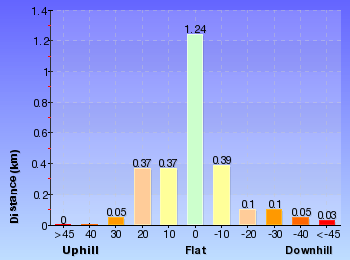
1.5km of this walk is very steep and another 1.2km has gentle hills with occasional steps. The remaining (30m) has short steep hills.
Quality of track
1.2km of this walk follows a formed track, with some branches and other obstacles and another 960m follows a rough unclear track. Whilst another 530m follows a rough track, where fallen trees and other obstacles are likely and the remaining 60m follows a clear and well formed track or trail.
Signs
1.7km of this walk has directional signs at most intersection and another 960m Has no directional signs. The remaining (60m) is clearly signposted.
Experience Required
This whole walk, 2.7km requires no previous bushwalking experience.
weather
This whole walk, 2.7km is not usually affected by severe weather events (that would unexpectedly impact safety and navigation).
Infrastructure
1.5km of this walk has limited facilities (such as cliffs not fenced, significant creeks not bridged) and another 1.2km has limited facilities (such as not all cliffs fenced). The remaining (60m) is close to useful facilities (such as fenced cliffs and seats).
Similar walks
180 m Return
15 mins
Moderate track
1.2 km Return
1 hr 30 mins
Hard track
3.1 km Return
3 hrs 30 mins
Experienced only
13.5 km One way
6 hrs
Experienced only
13.8 km Circuit
6 hrs 30 mins
Hard track
15.2 km One way
2 Days
Experienced only
15.9 km One way
7 hrs
Experienced only
23.4 km One way
2 Days
Experienced only

Other Nearby walks
2.6 km Circuit
1 hr 30 mins
Hard track
2.9 km One way
2 hrs
Hard track

4.3 km Circuit
2 hrs 30 mins
Hard track
4 km Return
2 hrs
Hard track

6 km One way
3 hrs
Hard track
202 m Return
15 mins
Moderate track
10.5 km Circuit
4 hrs 15 mins
Hard track

2.7 km Return
1 hr 30 mins
Hard track
11.5 km One way
5 hrs
Hard track
9 km Return
4 hrs
Hard track
8.6 km Return
3 hrs 30 mins
Hard track
18.3 km One way
7 hrs 15 mins
Experienced only
Plan your trip to and from the walk here
The Martin’s to Lost Worlds Lookout walk starts and ends at the Martins Lookout Carpark (gps: -33.734147, 150.57605)Your main transport option to Martins Lookout Carpark is by;
(get details)


Short URL = http://wild.tl/mtlwl
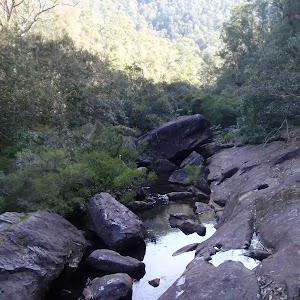
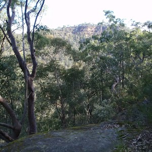
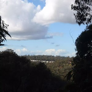
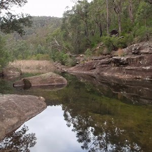
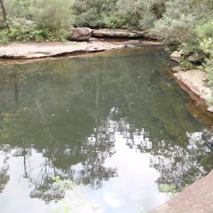
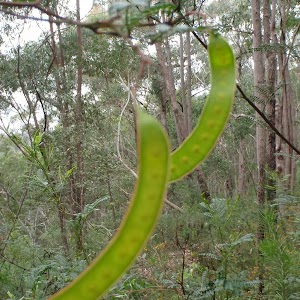
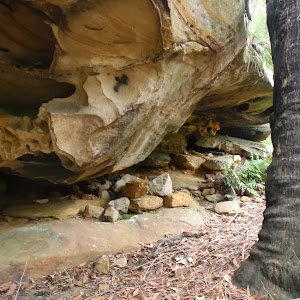
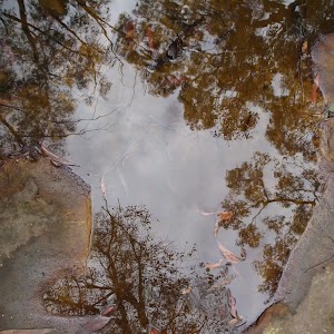
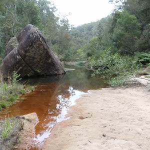
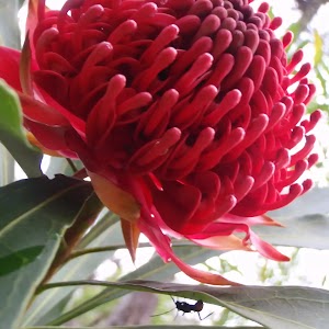
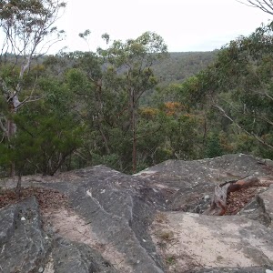
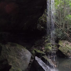
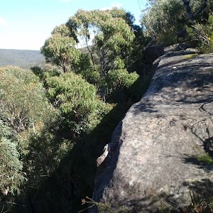
Gallery images
There are other downloads I am still working on.
You will probably need to login to access these — still all free.
* KML (google earth file)
* GPX (GPS file)
Special Maps/ brochures
* A3 topo maps
* PDF with Lands Topo map base
* PDF with arial image (and map overlay)
I wanted to get the main site live first, this extra stuff will come in time.
Happy walking
Matt 🙂
Comments