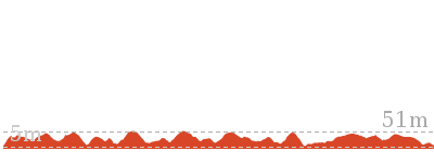
Wallagoot Gap to White Rock


3 hrs 30 mins

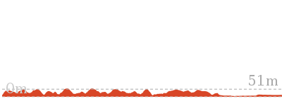
398 m
Hard track
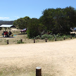


(0km) Wallagoot Beach Carpark → Int. Wallagoot Gap and Kangarutha Trks

220 m
4 mins
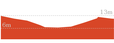
7m
-7m
Easy track
(0.22km) Int. Wallagoot Gap and Kangarutha Trks → Wallagoot Gap
110 m
2 mins
0m
-8m
Easy track
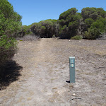
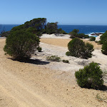
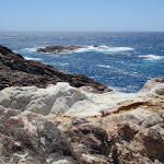
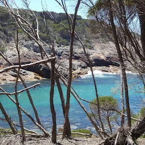
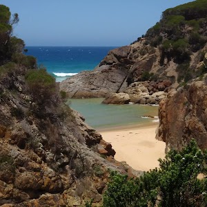
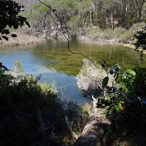
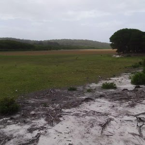
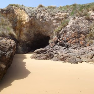
Wallagoot Gap

(0.22km) Int. Wallagoot Gap and Kangarutha Trks → Games Bay
2.4 km
49 mins
82m
-86m
Hard track
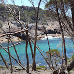
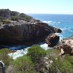
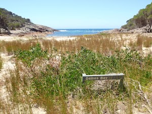
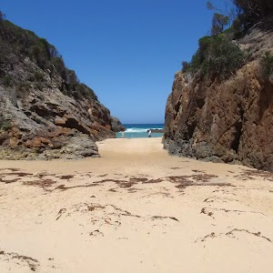
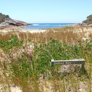
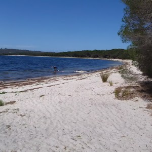
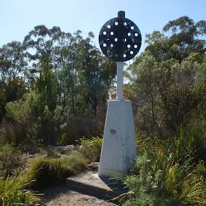
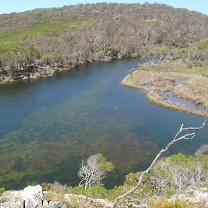
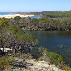
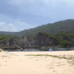
Games Bay
(2.62km) Games Bay → Int. White Rock Rd and Kangarutha Trk Sth
1.6 km
36 mins
109m
-69m
Hard track
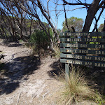
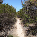
Veer right: From the intersection, this walk follows the arrow across the hill. The track meanders for a short time to then wind down steps to a sandy river bed at the peak of a bay, with an easy-to-miss signpost for ‘Games Bay’.
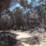
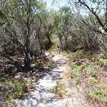
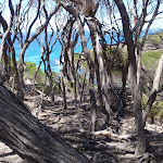
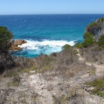
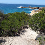
Turn left: From the intersection, this walk heads up the hill away from the valley, keeping the ocean on the right. The track leads up to an area of tall bush trees, then tends left down the hill. The walk continues along the hillside, keeping the ocean on the right. The track meanders through the heath, passing a few good viewing points of the coast. The walk then meets a large black termite mound, where the track turns left up the hill. The track continues up the hill, tending right to then go down a slight hill to a signposted intersection with a management trail.
(4.22km) Int. White Rock Rd and Kangarutha Trk Sth → White Rock Carpark
160 m
4 mins
0m
-25m
Moderate track
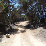
Continue straight: From the intersection, this walk heads down the hill towards the ocean. The track soon tends right, down to a cul-de-sac in the management trail.
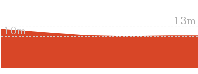
(4.38km) White Rock Carpark → White Rock Nth route
100 m
2 mins
1m
-12m
Hard track
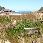
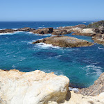
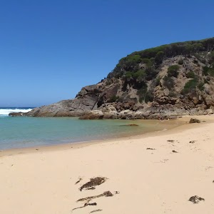
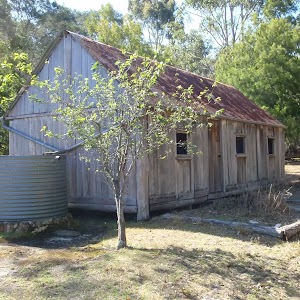
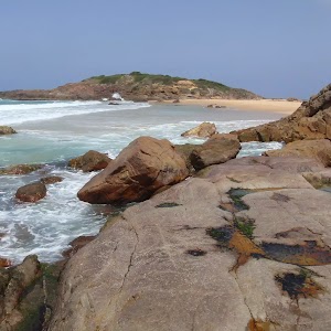
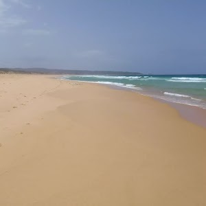
White Rock

Maps for the Wallagoot Gap to White Rock walk
You can download the PDF for this walk to print a map.These maps below cover the walk and the wider area around the walk, they are worth carrying for safety reasons.
| Wolumla | 1:25 000 Map Series | 88242N WOLUMLA | NSW-88242N |
| Bega | 1:100 000 Map Series | 8824 BEGA | 8824 |
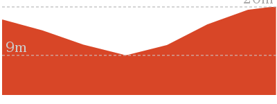
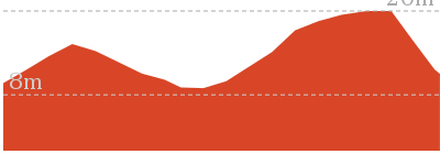
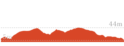
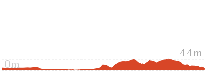
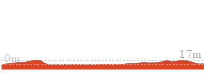
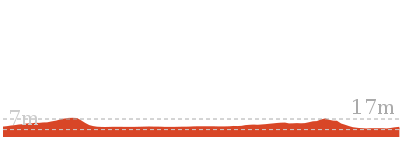
Cross sectional view of the Wallagoot Gap to White Rock bushwalking track
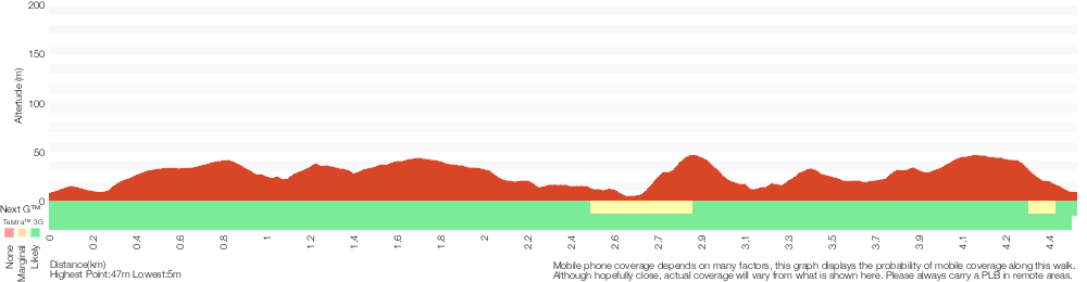
Analysis and summary of the altitude variation on the Wallagoot Gap to White Rock
Overview of this walks grade – based on the AS 2156.1 – 2001
Under this standard, a walk is graded based on the most difficult section of the walk.
| Length | 9 km | ||
| Time | 3 hrs 30 mins | ||
| . | |||
| Grade 4/6 Hard track |
AS 2156.1 | Gradient | Very steep (4/6) |
| Quality of track | Rough track, where fallen trees and other obstacles are likely (4/6) | ||
| Signs | Minimal directional signs (4/6) | ||
| Experience Required | No experience required (1/6) | ||
| Weather | Weather generally has little impact on safety (1/6) | ||
| Infrastructure | Limited facilities (such as cliffs not fenced, significant creeks not bridged) (4/6) |
Some more details of this walks Grading
Here is a bit more details explaining grading looking at sections of the walk
Gradient
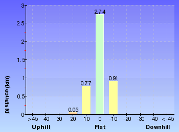
3.8km of this walk has short steep hills and another 420m is very steep. The remaining (220m) has gentle hills with occasional steps.
Quality of track
4.1km of this walk follows a rough track, where fallen trees and other obstacles are likely and another 220m follows a clear and well formed track or trail. The remaining (160m) follows a formed track, with some branches and other obstacles.
Signs
4km of this walk has minimal directional signs and another 310m has directional signs at most intersection. The remaining (220m) is clearly signposted.
Experience Required
This whole walk, 4.5km requires no previous bushwalking experience.
weather
This whole walk, 4.5km is not usually affected by severe weather events (that would unexpectedly impact safety and navigation).
Infrastructure
4km of this walk has limited facilities (such as cliffs not fenced, significant creeks not bridged) and another 260m has limited facilities (such as not all cliffs fenced). The remaining (220m) is close to useful facilities (such as fenced cliffs and seats).
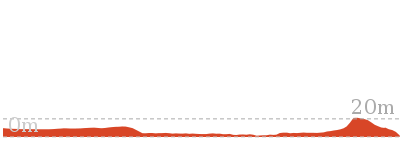
Similar walks

194 m Circuit
10 mins
Hard track
648 m Return
15 mins
Easy track

1 km Return
30 mins
Moderate track
5.2 km Return
2 hrs
Hard track
6 km Return
1 hr 45 mins
Moderate track
8.8 km One way
4 hrs
Hard track
10.5 km Return
3 hrs 30 mins
Hard track
11.5 km One way
4 hrs 30 mins
Hard track
Other Nearby walks
1.2 km Circuit
45 mins
Moderate track

3.6 km Return
1 hr 15 mins
Easy track
10.6 km Circuit
3 hrs 45 mins
Hard track


5 km Return
1 hr 30 mins
Moderate track
7.6 km Circuit
2 hrs 15 mins
Hard track

8 km Circuit
3 hrs 30 mins
Experienced only

5 km Return
1 hr 45 mins
Experienced only
464 m Return
10 mins
Moderate track

482 m Return
12 mins
Hard track
5.2 km Circuit
2 hrs
Hard track

286 m Return
5 mins
Moderate track
2.1 km Return
45 mins
Hard track

Plan your trip to and from the walk here
The Wallagoot Gap to White Rock walk starts and ends at the Wallagoot Beach Carpark (gps: -36.785005, 149.96105)Your main transport option to Wallagoot Beach Carpark is by;
(get details)


Short URL = http://wild.tl/wgtwr
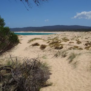
Gallery images
There are other downloads I am still working on.
You will probably need to login to access these — still all free.
* KML (google earth file)
* GPX (GPS file)
Special Maps/ brochures
* A3 topo maps
* PDF with Lands Topo map base
* PDF with arial image (and map overlay)
I wanted to get the main site live first, this extra stuff will come in time.
Happy walking
Matt 🙂
Comments