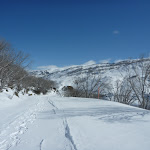
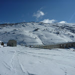
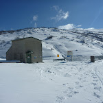
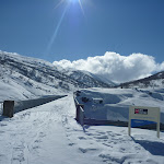
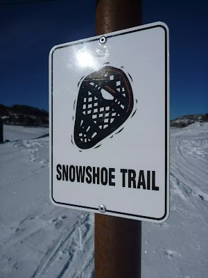
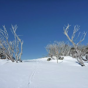
Guthega River Snowshoe


1 hr 30 mins

115 m
Hard track


Share the Snow
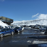
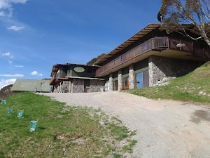
Guthega
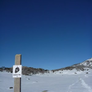
Winter only route
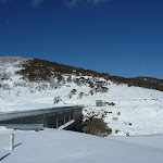
(0km) Guthega Centre → Southern end of Guthega Dam Wall

690 m
14 mins
10m
-60m
Moderate track
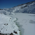
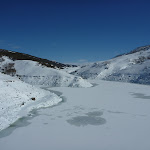
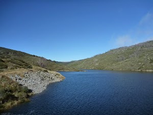
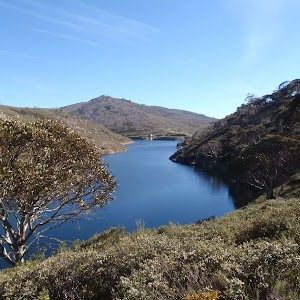
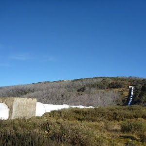
Guthega Pondage
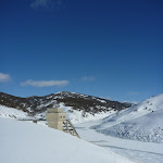
(0.69km) Southern end of Guthega Dam Wall → Guthega Shaft intersection
410 m
8 mins
10m
-11m
Moderate track
(1.09km) Guthega Shaft intersection → Guthega River bridge
550 m
10 mins
15m
-9m
Hard track
Maps for the Guthega River Snowshoe walk
You can download the PDF for this walk to print a map.These maps below cover the walk and the wider area around the walk, they are worth carrying for safety reasons.
| Perisher Valley | 1:25 000 Map Series | 85252S PERISHER VALLEY | NSW-85252S |
| Geehi Dam | 1:25 000 Map Series | 85252N GEEHI DAM | NSW-85252N |
| Kosciuszko | 1:100 000 Map Series | 8525 KOSCIUSZKO | 8525 |
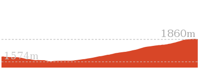
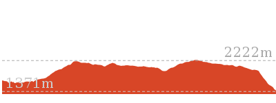
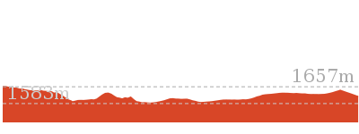
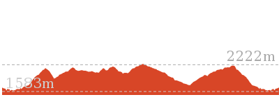
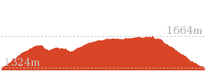
Cross sectional view of the Guthega River Snowshoe bushwalking track
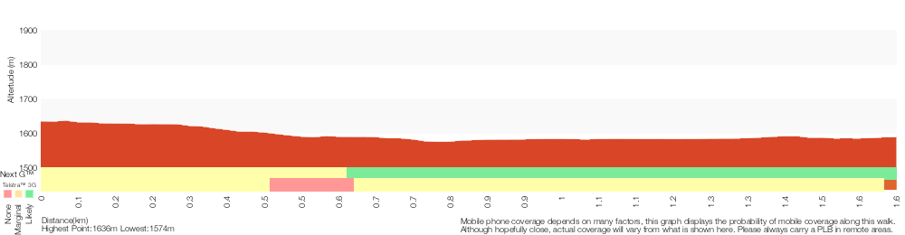
Analysis and summary of the altitude variation on the Guthega River Snowshoe

Overview of this walks grade – based on the AS 2156.1 – 2001
Under this standard, a walk is graded based on the most difficult section of the walk.
| Length | 3.3 km | ||
| Time | 1 hr 30 mins | ||
| . | |||
| Grade 4/6 Hard track |
AS 2156.1 | Gradient | Short steep hills (3/6) |
| Quality of track | Rough track, where fallen trees and other obstacles are likely (4/6) | ||
| Signs | Minimal directional signs (4/6) | ||
| Experience Required | Moderate level of bushwalking experience recommended (4/6) | ||
| Weather | Forecast, unforecast storms and severe weather may impact on navigation and safety (4/6) | ||
| Infrastructure | Limited facilities (such as cliffs not fenced, significant creeks not bridged) (4/6) |
Some more details of this walks Grading
Here is a bit more details explaining grading looking at sections of the walk
Gradient
Around 1.1km of this walk has gentle hills with occasional steps, whilst the remaining 550m has short steep hills.
Quality of track
Around 1.1km of this walk follows a clear and well formed track or trail, whilst the remaining 550m follows a rough track, where fallen trees and other obstacles are likely.
Signs
Around 1.1km of this walk is clearly signposted, whilst the remaining 550m has minimal directional signs.
Experience Required
Around 1.1km of this walk requires some bushwalking experience, whilst the remaining 550m requires a leader a with moderate level of bushwalking experience.
weather
Around 1.1km of this walk is affected by storms that may impact your navigation and safety, whilst the remaining 550m is affected by forecast, unforecast storms and severe weather events that may impact on navigation and safety.
Infrastructure
Around 1.1km of this walk is close to useful facilities (such as fenced cliffs and seats), whilst the remaining 550m has limited facilities (such as cliffs not fenced, significant creeks not bridged).
Similar walks

6 km Return
3 hrs
Very experienced only
Other Nearby walks
17.4 km Return
8 hrs
Experienced only
25.8 km One way
2 Days
Experienced only
15.2 km One way
6 hrs 30 mins
Experienced only
6.4 km Return
2 hrs 45 mins
Moderate track
14.8 km Return
6 hrs 45 mins
Experienced only
6.4 km Return
2 hrs 30 mins
Moderate track

45 km Circuit
4 Days
Experienced only
5.2 km One way
2 hrs 45 mins
Hard track
14.1 km Circuit
5 hrs 30 mins
Hard track
22.4 km Return
9 hrs
Hard track

3 km Circuit
1 hr 30 mins
Moderate track

7.3 km Circuit
3 hrs
Hard track

Plan your trip to and from the walk here
The Guthega River Snowshoe walk starts and ends at the Guthega Centre (gps: -36.377478, 148.37589)Your main transport option to Guthega Centre is by;
(get details)


Short URL = http://wild.tl/grs
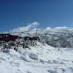
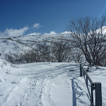
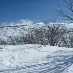
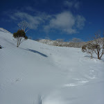
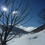
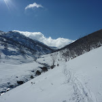
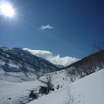
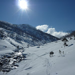
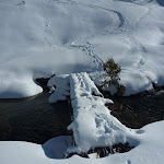
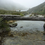
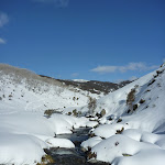
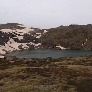
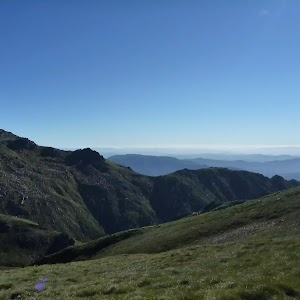
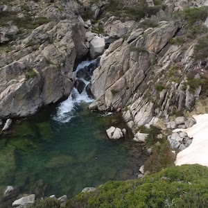
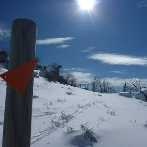
Gallery images
There are other downloads I am still working on.
You will probably need to login to access these — still all free.
* KML (google earth file)
* GPX (GPS file)
Special Maps/ brochures
* A3 topo maps
* PDF with Lands Topo map base
* PDF with arial image (and map overlay)
I wanted to get the main site live first, this extra stuff will come in time.
Happy walking
Matt 🙂
Comments