Audley to Gibraltar Rock


45 mins

55 m
Easy track


Audley
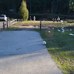
(0km) Audley Village car park → Audley Cafe

110 m
2 mins
4m
0m
Very easy


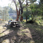
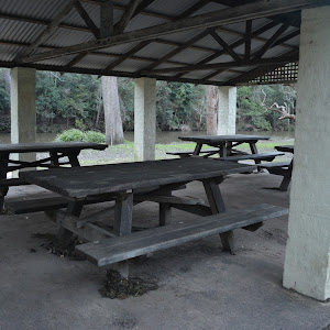
Audley Picnic area
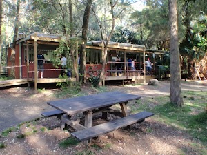
Audley Cafe
(0.11km) Audley Cafe → Commonwealth Pavilion car park
80 m
1 mins
1m
-4m
Very easy


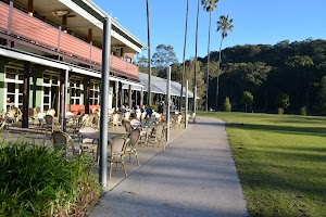
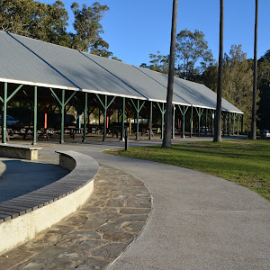
Commonwealth Pavilion
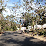
(0.18km) Commonwealth Pavilion car park → Lady Carrington Drive gate (Willow Tree)
470 m
9 mins
18m
-11m
Very easy
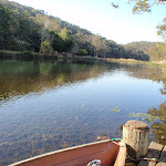
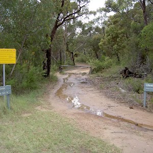
Continue straight: From the bridge, this walk follows the ‘Willow Tree & Fig Tree Flat’ sign[31] along ‘Lady Carrington Drive’[32], keeping the river to the right. This walk continues along the road for about 290m past the ‘Willow Tree Flat’ sign[33] to come to a toilet block (on the right). From the toilets this walk continues along the road for about 60m to come to a ‘Y’ intersection[34] with a ‘Lady Carrington Drive’ signpost[35] and locked gate[36].

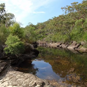
Willow Tree


Lady Carrington Drive
(0.65km) Lady Carrington Drive gate (Willow Tree) → Gibraltar Rock
430 m
8 mins
6m
-11m
Easy track


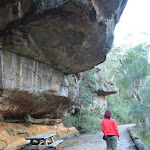
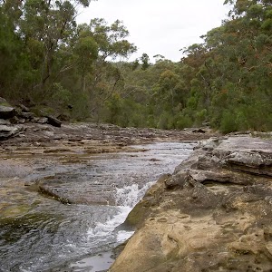
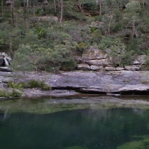
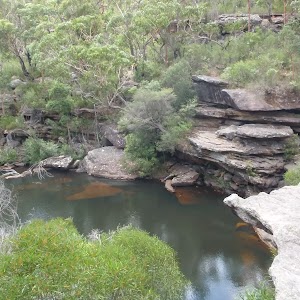
Gibraltar Rock
Maps for the Audley to Gibraltar Rock walk
You can download the PDF for this walk to print a map.These maps below cover the walk and the wider area around the walk, they are worth carrying for safety reasons.
| Port Hacking | 1:25 000 Map Series | 91294N PORT HACKING | NSW-91294N |
| Port Hacking | 1:100 000 Map Series | 9129 PORT HACKING | 9129 |
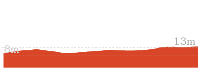
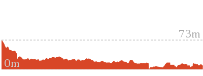
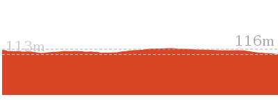
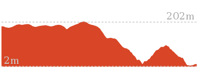
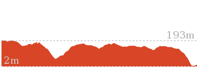
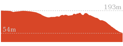
Cross sectional view of the Audley to Gibraltar Rock bushwalking track
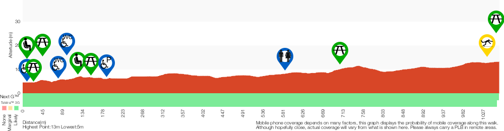
Analysis and summary of the altitude variation on the Audley to Gibraltar Rock
Accessibility summary information for the Audley to Gibraltar Rock
Toilets: There are 2 designated accessible toilets on this walk. They are 100m apart.
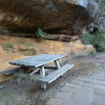
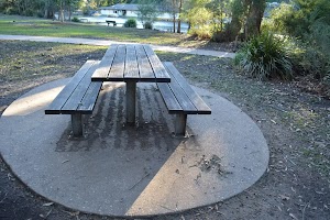
Seats: There are 7 places to sit on this walk. They are on average 180m apart, with a maximum gap of 550m.
Hazards: There are 1 specific noteable accessability related hazards on this walk.
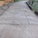
Trip Hazard An 8cm trip hazard between dirt and cobblestones. Found about 1070m into the walk.
Accessibility Details


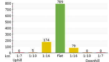
Overview of this walks grade – based on the AS 2156.1 – 2001
Under this standard, a walk is graded based on the most difficult section of the walk.
| Length | 2.2 km | ||
| Time | 45 mins | ||
| . | |||
| Grade 2/6 Easy track |
AS 2156.1 | Gradient | Flat, no steps (1/6) |
| Quality of track | Clear and well formed track or trail (2/6) | ||
| Signs | Clearly signposted (1/6) | ||
| Experience Required | No experience required (1/6) | ||
| Weather | Weather generally has little impact on safety (1/6) | ||
| Infrastructure | Generally useful facilities (such as fenced cliffs and seats) (1/6) |
Some more details of this walks Grading
Here is a bit more details explaining grading looking at sections of the walk
Gradient
This whole walk, 1.1km is flat with no steps.
Quality of track
Around 650m of this walk follows a smooth and hardened path, whilst the remaining 430m follows a clear and well formed track or trail.
Signs
This whole walk, 1.1km is clearly signposted.
Experience Required
This whole walk, 1.1km requires no previous bushwalking experience.
weather
This whole walk, 1.1km is not usually affected by severe weather events (that would unexpectedly impact safety and navigation).
Infrastructure
This whole walk, 1.1km is close to useful facilities (such as fenced cliffs and seats).
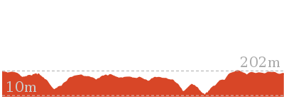
Similar walks

858 m Return
20 mins
Easy track
5 km Return
1 hr 45 mins
Easy track

9.7 km One way
3 hrs 45 mins
Moderate track
10.5 km Return
4 hrs
Moderate track

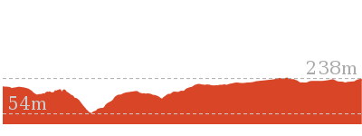
Other Nearby walks
2.3 km Circuit
1 hr 15 mins
Hard track

918 m Return
20 mins
Very easy
4.4 km One way
2 hrs
Hard track
5.8 km One way
2 hrs 30 mins
Hard track
11 km One way
4 hrs
Hard track
10 km One way
4 hrs 15 mins
Hard track

15 km One way
6 hrs 30 mins
Hard track
11.3 km One way
4 hrs 30 mins
Hard track
5.6 km Return
3 hrs
Moderate track
10.1 km One way
5 hrs
Hard track
10.8 km One way
2 Days
Hard track

11 km Circuit
4 hrs
Hard track

Plan your trip to and from the walk here
The Audley to Gibraltar Rock walk starts and ends at the Audley Village car park (gps: -34.074286, 151.05661)Your main transport option to Audley Village car park is by;
(get details)


Short URL = http://wild.tl/atgr
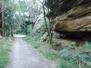
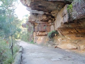
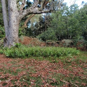
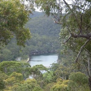
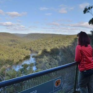
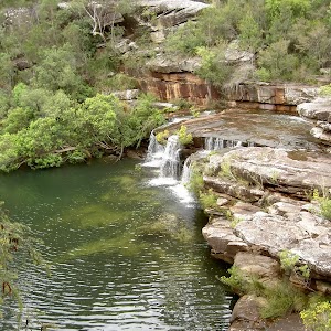
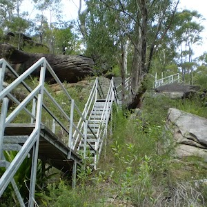
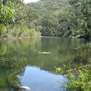
Gallery images
There are other downloads I am still working on.
You will probably need to login to access these — still all free.
* KML (google earth file)
* GPX (GPS file)
Special Maps/ brochures
* A3 topo maps
* PDF with Lands Topo map base
* PDF with arial image (and map overlay)
I wanted to get the main site live first, this extra stuff will come in time.
Happy walking
Matt 🙂
Comments